GeoVITe – Exploring practices for research geodata
Electronic maps and geodata are becoming increasingly important in research and teaching. From cartography and environmental sciences to architecture and social sciences: geospatial data are the basis and the enabler of interdisciplinary research. The course introduces you to this interdisciplinary function of geospatial data using the example of GeoVITe, shows examples of research, work with research geodata and refers you to other platforms for geospatial data.
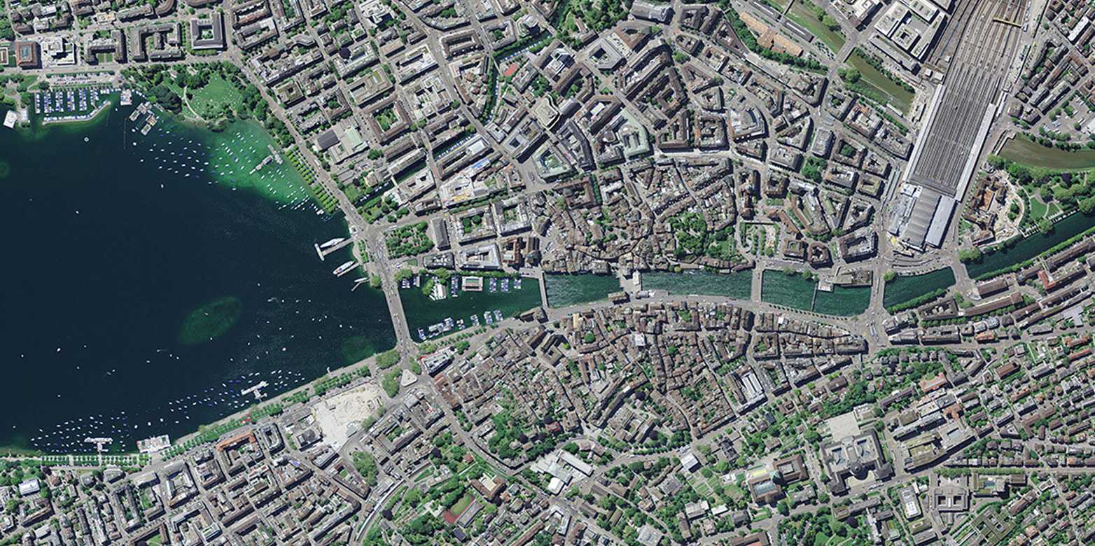
View of the city of Zurich from the SWISSIMAGE data set. (Image: Federal Office of Topography swisstopo)
Registration
| Title | Date | Duration | No. Places available/total |
|---|---|---|---|
| GeoVITe - Exploring practices for research geodata | 15.04.2026 | 60 min | 15 / 15 |
We also hold this course for groups of five people or more.
.
Content
- Introduction to GeoVITe
- Search strategies
- Use cases
- Practical exercises
Learning objectives
By the end of the course, you will be able to
- understand the benefits and challenges of spatial data in research and teaching,
- successfully use the various functionalities of the GeoVITe platform to obtain geodata,
- recognise points of contact for the use of research geodata in the context of your own university activities.
Target audience
- Bachelor students
- Master students
- Doctoral students
- Scientific staff
- Scientifically interested individuals
Accessibility
Access to and participation in our courses will be barrier-free. Please contact us in advance at +41 44 632 21 35 or at so that we can optimally meet your needs.
Contact