New crowdsourcing campaign: Georeferencing maps
The ETH Library needs your help!
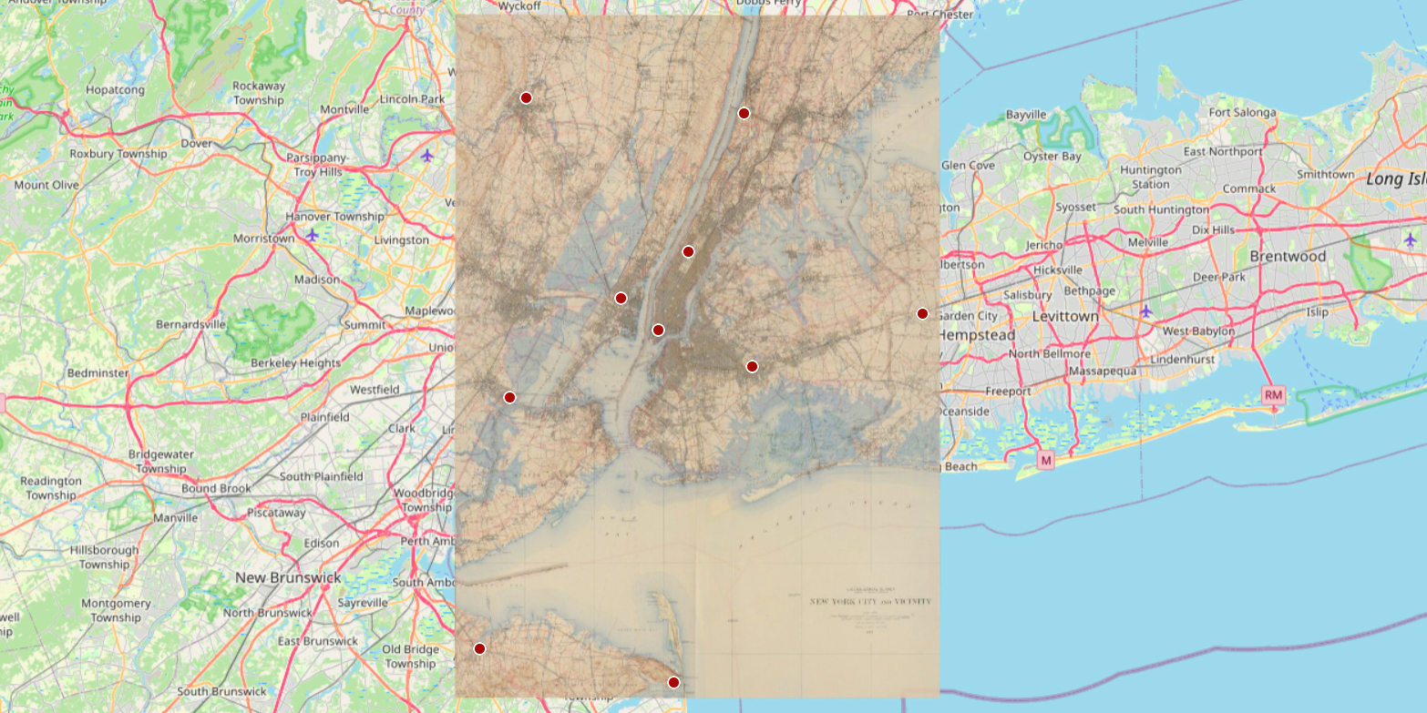
Spatial data and georeferenced maps are the basis for answering a wide range of questions and are therefore increasingly in demand in research and teaching. However, georeferencing historical digitised maps is time-consuming and can often only be done manually. This is why we need your help!
In April, almost 1,500 digitised historical maps from the map collection of the ETH Library were made available for georeferencing. Most of the maps are from maps and atlases published between 1870 and 1925. They therefore correspond to modern cartographic production methods and can be easily located on the interactive web map with just a little research.
A short guide to the process can be found on the project website.
Once the campaign is completed, the georeferenced maps will also be available on external page OldMapsOnline.org. There are already 2’750 georeferenced maps available from previous successful campaigns. All maps and atlases can also be searched in external page ETH Library @ swisscovery and partly also on the platform external page e-rara.ch.
The ETH Library offers a comprehensive range of modern, academic maps and geodata, as well as the corresponding infrastructure and consulting expertise.