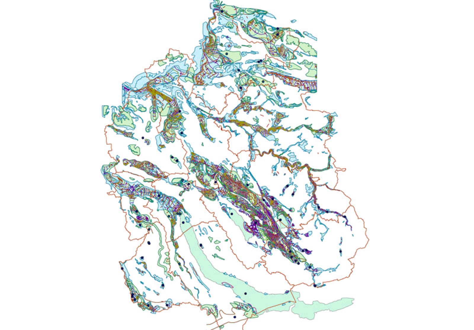
Electronic maps including geodata to preview and download
Maps as part of the digital transformation: discover the ETH Library’s ever-expanding range of electronic and georeferenced maps available for your use.

Are you looking for maps for your research, teaching or private holiday travel? Do you need high-resolution and georeferenced data, preferably in open-data form for further use in GIS software? Then browse the new offering of electronic maps. The growing range of digital maps relating to bodies of water, coastlines and more includes, for example, the external page Geologische Küstenkarte von Niedersachsen: Relief der Holozänbasis (2006) [Geological map of the coast of Lower Saxony: relief of the Holocene base (2006) and the external page Häfen des Schwarzen Meeres an der asiatischen Küste (nach 1855) [Black Sea ports on the Asian coast (after 1855)].
Benefit from modern and historical maps
The new and continuously expanded offering includes new Swiss and international acquisitions of electronic maps. In addition, you will find hundreds of digitised maps from the historical holdings of the ETH Library, which, thanks to georeferencing, can easily be used in a versatile manner.
Quick search – easy download
All electronic maps can be browsed via a search in .
Maps – holdings and service: Currently, around 400,000 maps of the ETH Library provide a comprehensive range of historical and modern scientific and subject-based maps and geodata, including the related infrastructure and expert advice.
