e-maps02
Aim of the project
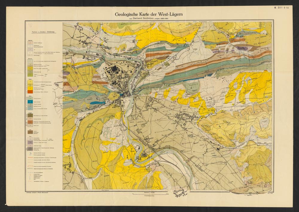
Within the scope of the e-maps02 project, an infrastructure and a workflow are being developed to enable the acquisition and provision of subject-based maps at the ETH Library. In addition, copyright-free maps from the library’s own holdings will be digitised, georeferenced and offered through the same infrastructure.
Description of the project
The e-maps02 project is the follow-up to the e-maps pilot project (2019–2021). The acquisition of further content will be organised, maps from the library’s own holdings will be digitised, and an efficient presentation and download infrastructure will be developed for electronic maps through three sub-projects.
Synergies and context
The e-maps02 project will help the library meet the growing demand for electronic map-related resources. Research and access will be possible through Kartenportal.CH and swisscovery.
Cooperation partners
The project will be implemented in close cooperation with the groups Rare Books and Maps, Digital Business Solutions, Research Data Management and Digital Curation, and the DigiCenter of the ETH Library.
Time frame
09.2021–12.2023